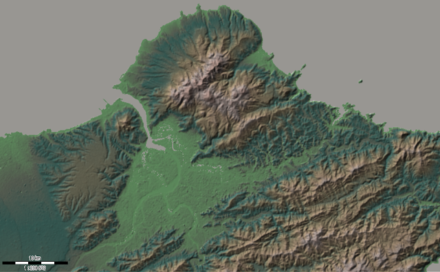
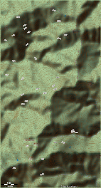
作等高線地形圖,可以增加渲染、分層設色的功能,也可以作向量輸出。


北部


桃園台地群

雪山到大霸

操作過程老樣子就是錄成影片,全部加起來差不多半小時,看完就會操作了啦。
https://www.youtube.com/playlist?list=PLm6x13NbsKl56B6eufroUBCF5IKR1CgLq
設定圖資 網站說明
預設的是SRTM3,但是有洞
set-dem-source name=SRTM3
有經過「補洞」的是SRTMV3R3
set-dem-source name=SRTMV3R3
參考
http://wiki.openstreetmap.org/wiki/SRTM
http://maperitive.net/docs/Commands/SetDemSource.html
改變rules的contours可以顯示或隱藏等高線相關資訊
分層設色圖(參考上河) 網站說明
generate-hypsometric ramps=0:#f1eee8;1:#8fd48e;50:#818c7b;100:#4f847a;200:#818d7a;300:#a09576;500:#bba186;700:#bfb0aa;900:#bea198;1200:#c2a496;1500:#a28c81;1800:#a87e72;2100:#946f4e;2400:#946748;2700:#c1765d;3000:#a95e48;3300:#c26e61;3600:#c46661;4000:#6c363a
底圖變淺
add-web-map provider=mapnik intensity=0.7
海平面上升的hypsometric
generate-hypsometric ramps=0:blue;1:green;1000:#FFCB77;2000:white
輸出 網站說明
export-bitmap width=500
export-bitmap scale=11
設定座標範圍 網站說明
設定地理座標範圍
set-geo-bounds 120.971703881821,24.8198055325488,120.973510061623,24.8185677195484
設定列印座標範圍
set-print-bounds-geo 120.171703881821,24.8198055325488,120.973510061623,24.8185677195484